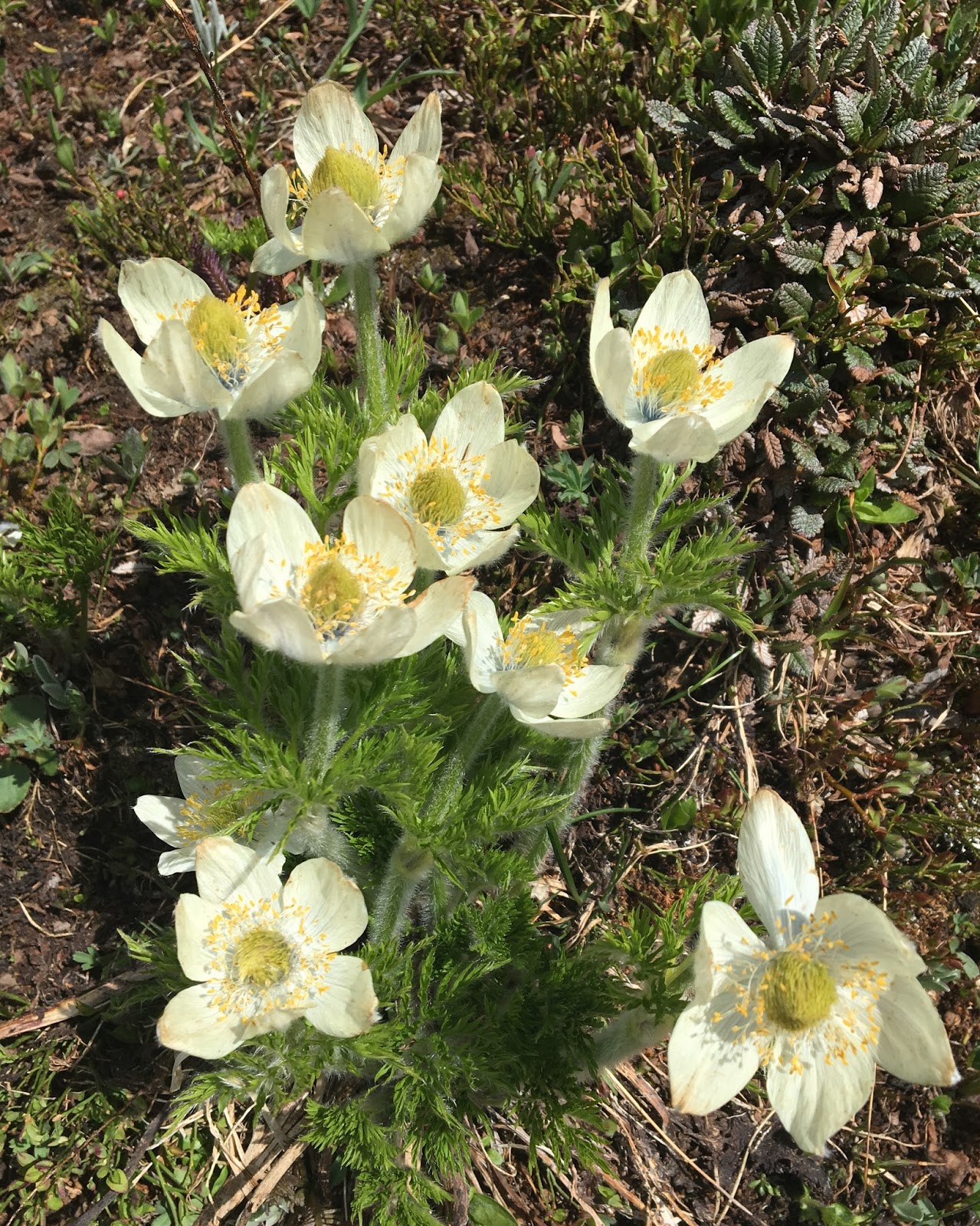
We know some people who are currently vacationing in London. (I’m sitting here cleaning my kitchen and really wishing I could be there with them.) Those of you who either live in London or have visited, what are the best food spots? Especially coffee, tea, and treats, but anything would be great. Are there cafes that sell the kinds of delicious pastries that contestants make on the “Great British Baking Show”? I would love to be able to share some suggestions.
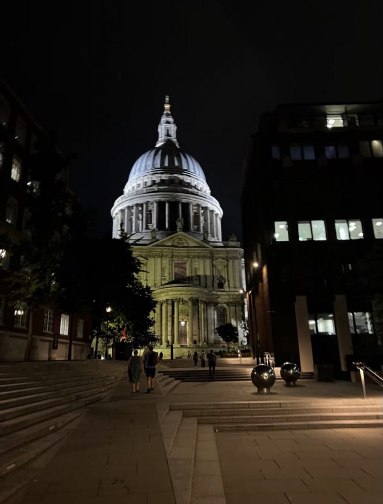
Photo shows St. Paul’s Cathedral. Looks surprisingly like the US Capitol Building to me though.
 …
…